A map is a visual representation of an area, showing physical features, political boundaries, and other important details. Maps can be used for various purposes, such as navigation, education, planning, and analysis.
Here are some common types of maps and their uses:
1. **Physical Map**: Shows natural features like mountains, rivers, and lakes. It often uses colors and shading to represent different elevations and terrain types.
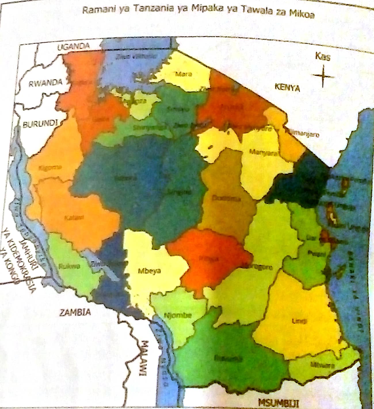
2. **Political Map**: Highlights governmental boundaries such as countries, states, and cities. It also shows the locations of major cities and significant political boundaries.
3. **Topographic Map**: Depicts the shape and elevation of the terrain using contour lines. These maps are useful for hikers, engineers, and geologists.
4. **Thematic Map**: Focuses on specific topics or themes, such as population density, climate, economic activities, or vegetation.
5. **Road Map**: Displays highways, roads, and transportation networks. It is often used for navigation and travel planning.
6. **Climate Map**: Shows the various climate zones of an area, often using colors to represent different climate types such as tropical, arid, and temperate.
7. **Historical Map**: Provides information about how a particular area looked in the past, showing historical boundaries, events, or significant changes over time.
8. **Geological Map**: Illustrates the types and distribution of rocks and minerals in a particular area. It is often used by geologists for studying the Earth's structure.
Maps are essential tools for a variety of reasons, serving numerous purposes and benefiting various fields. Here are some key reasons why maps are important:
1. **Navigation and Travel**: Maps help individuals find their way from one location to another, whether by foot, car, plane, or boat. Road maps, GPS maps, and nautical charts are crucial for safe and efficient travel.
2. **Geographical Understanding**: Maps provide a visual representation of the Earth's surface, helping people understand the layout of continents, countries, and cities. They help in learning about different regions, their features, and their relative locations.
3. **Urban Planning and Development**: City planners and developers use maps to design infrastructure, plan new developments, and ensure efficient land use. Maps help in zoning, transportation planning, and the placement of public facilities.
4. **Disaster Management and Emergency Response**: Maps are critical in disaster management for identifying vulnerable areas, planning evacuation routes, and coordinating rescue operations. They help responders understand the impact and extent of natural disasters like earthquakes, floods, and hurricanes.
5. **Environmental Conservation**: Maps aid in monitoring and managing natural resources, such as forests, water bodies, and wildlife habitats. They help in conservation efforts by identifying protected areas and tracking changes in the environment.
6. **Research and Education**: Maps are valuable tools for scientific research and education. They help researchers study geographical patterns, analyze data, and present findings. In education, maps are used to teach geography, history, and environmental science.
7. **Military and Defense**: Maps are essential for military operations, providing information about terrain, strategic locations, and enemy positions. They aid in planning and executing missions.
8. **Communication and Visualization**: Maps are effective tools for visualizing complex data and communicating information. Thematic maps, for example, can show population density, climate zones, or economic activities, making it easier to understand and analyze patterns.
9. **Tourism and Recreation**: Maps guide tourists to attractions, parks, and cultural sites. They help in exploring new places, planning trips, and discovering points of interest.
10. **Historical Analysis**: Historical maps provide insights into past events, changes in political boundaries, and the development of regions over time. They are valuable resources for historians and researchers.
Maps contain several essential elements that help convey geographical information effectively. Here are the key components commonly found in maps:
1. **Title**: Indicates the subject or purpose of the map, providing context to the viewer.
2. **Legend (Key)**: Explains the symbols, colors, and patterns used on the map, allowing the viewer to understand what each element represents.
3. **Scale**: Shows the relationship between distances on the map and actual distances on the ground. It can be represented as a ratio, a bar scale, or a verbal statement (e.g., "1 inch = 1 mile").
4. **Compass Rose**: Indicates the cardinal directions (North, South, East, and West) to help the viewer orient the map.
5. **Grid**: A network of intersecting lines (latitude and longitude or a coordinate system) that helps locate specific points on the map.
6. **Labels**: Names and descriptions of places, features, and points of interest on the map, such as cities, rivers, mountains, and roads.
7. **Symbols**: Icons or graphics used to represent specific features, such as airports, hospitals, parks, and landmarks.
8. **Boundaries**: Lines that define political or administrative areas, such as country borders, state lines, and city limits.
9. **Inset Map**: A smaller map within the main map that provides additional detail or context for a specific area.
10. **Source and Date**: Information about the map's creator, the data used, and the publication date, which helps assess the map's accuracy and relevance.
MAP SCALE
A map scale is a crucial element of a map that shows the relationship between distances on the map and the actual distances on the ground. It allows the user to understand how much real-world distance is represented by a specific distance on the map. There are three main types of map scales:
1. **Ratio Scale (or Representative Fraction)**: This scale expresses the ratio between map distance and ground distance as a fraction or ratio, such as 1:50,000. This means that one unit of measurement on the map (e.g., 1 inch or 1 centimeter) represents 50,000 of the same units on the ground. For example, 1 cm on the map equals 50,000 cm (or 500 meters) in reality.
2. **Bar Scale (or Graphic Scale)**: This scale is a visual representation, usually a bar or line marked with units of distance. It allows the user to measure distances directly using the scale bar. It remains accurate even if the map is enlarged or reduced.
3. **Verbal Scale (or Statement Scale)**: This scale uses words to describe the ratio of map distance to ground distance, such as "1 inch equals 1 mile" or "1 centimeter equals 10 kilometers." It provides an easy-to-understand description of the scale.
The concept of scale is essential in various contexts for several important reasons:
1. **Accuracy in Representation**: Scale allows for the accurate representation of large areas or objects on a smaller medium, such as a map or blueprint. This enables us to visualize and analyze geographical regions, architectural designs, or any other spatial information effectively.
2. **Understanding Proportions**: Scale helps us understand the relative size and proportion of different elements within a representation. For example, in a scaled drawing, we can accurately compare the sizes of rooms, buildings, or landscapes.
3. **Navigation and Travel**: In maps, scale is crucial for determining distances between locations. It helps travelers and navigators estimate travel times and plan routes efficiently.
4. **Data Visualization**: Scale is important in creating graphs, charts, and diagrams. It ensures that data is presented accurately and proportionally, making it easier to interpret and analyze trends, patterns, and relationships.
5. **Scientific Research**: Scale is vital in various scientific fields, such as biology, astronomy, and geology. It allows researchers to study phenomena at different levels, from the microscopic to the cosmic, and understand their implications in a broader context.
6. **Modeling and Simulation**: Scale is used in creating models and simulations, whether in engineering, urban planning, or environmental studies. Scaled models help visualize and test scenarios before implementing them in the real world.
7. **Art and Design**: Scale is important in art and design, allowing artists and designers to create proportionate and aesthetically pleasing works. It helps in creating detailed miniatures, replicas, or scaled-up versions of objects.
8. **Educational Tools**: Scales are used in educational tools, such as globes, anatomical models, and historical replicas, to help students understand complex concepts in a tangible and relatable manner.


0 Comments: